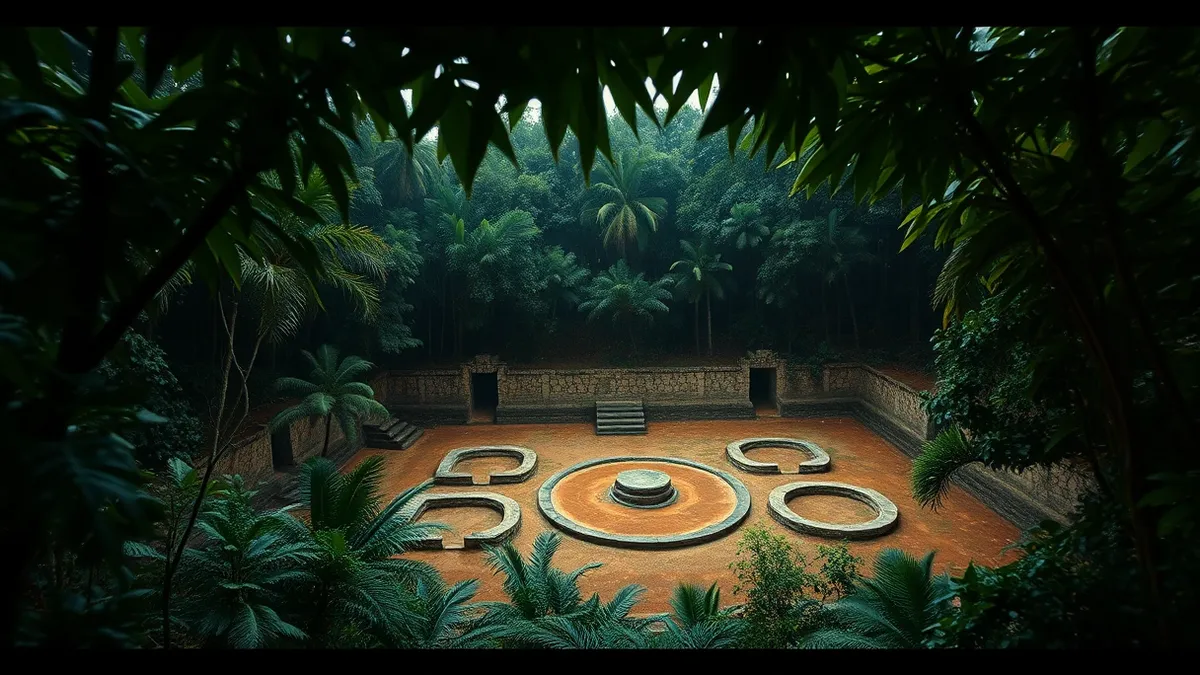
A developer reported on 11 November that AI agents identified a Maya site in Mexico by analyzing public NASA lidar data, according to a post on Hacker News.reported The site was not in the official register of Mexico's National Institute of Anthropology and History, though archaeologists had already mapped it.AI tools helped a developer find an ancient Maya site using publicly available satellite laser data.A multi-agent workflow processed 1,200 sq km of NASA lidar to identify a Maya site absent from the INAH register.
The figures
The analysis covered approximately 1,200 square kilometers of jungle, according to the author's post.reported Forty-eight agents processed the data strips individually. The process took less than 72 hours from initial concept to an official government reply, as stated in the update.
Behind the figures
The agents converted lidar strips into images for visual inspection, according to the source material.reported They looked for pyramids, platforms, and plazas while filtering out natural hills, sinkholes, and roads. No special model or classifier was used; the agents followed a precise guide to examine the pictures directly.
What it means for your stack
The workflow relied on public lidar data rather than satellite photos, which the author noted are less effective for canopy-covered ruins. The system used multiple agents including Gemini, ChatGPT, Claude, and Grok for brainstorming and analysis. No specialized training or custom classifiers were required for the detection task.
Building on this
Developers can replicate this approach by converting lidar strips into visual formats for agent review, according to the author's description.reported The documented method involves using multiple agents to filter natural terrain from man-made structures. This suggests that general-purpose agents can perform detailed visual inspection tasks without specialized computer vision models.
Why it matters
- The workflow demonstrates that public lidar data can be processed by general AI agents without specialized classifiers.
- The project highlights the gap between academic mapping and official government registers, as the site was known but unregistered.
- Using multiple agents for brainstorming and execution shows a practical application for coordinating different model providers on a single task.
- The 72-hour timeline illustrates the speed at which AI-assisted analysis can move from concept to official government inquiry.
Topics: AI agents, lidar, archaeology, public data, workflow
Updated
Then / now / next
Satellite photos were insufficient for identifying ruins under dense jungle canopies.
AI agents analyzed public lidar data to identify structures not in the official national register.
The author noted that more work is needed to improve literature search capabilities to avoid rediscovering known sites.
Story timeline
- Then Satellite photos were insufficient for identifying ruins under dense jungle canopies.
- 11 Nov 2026 My AI agents found an unmapped Maya site?
- Now AI agents analyzed public lidar data to identify structures not in the official national register.
- Next The author noted that more work is needed to improve literature search capabilities to avoid rediscovering known sites.
The strongest doubt
Counterpoint from the sources
The site was already mapped in Estrada-Belli et al. 2025, meaning the agents failed to identify existing literature rather than making a novel discovery.
Ask the article
Local keyword search of this article; no generated answers.Did this article give you the evidence you needed?
Your choice stays on this device. No public tally.Terms in this story
lidar
A remote sensing method that uses laser pulses to map ground features through canopy gaps.
agents
AI systems that perform tasks autonomously or semi-autonomously, such as reviewing images or searching literature.
Questions readers ask
Did the AI agents discover a new archaeological site?
No, the agents rediscovered a site that had already been mapped in 2025 literature but was not yet in the official Mexican register.
What data source was used for the analysis?
The agents analyzed public NASA lidar data covering approximately 1,200 square kilometers of jungle in the Maya region.
Were specialized machine learning models used for detection?
No, the author stated that no special model or classifier was involved; the agents visually inspected images following a guide.
Connected stories
Reading receipt
- The workflow processed approximately 1,200 square kilometers of jungle using public lidar strips.
- Forty-eight agents reviewed visualized data to distinguish structures from natural terrain features.
- The site was already mapped in 2025 literature but absent from Mexico's official national register.
Still open: How can agent workflows be improved to better cross-reference existing academic literature?
Still open: What specific prompts or guides were used to direct the agents' visual inspection?